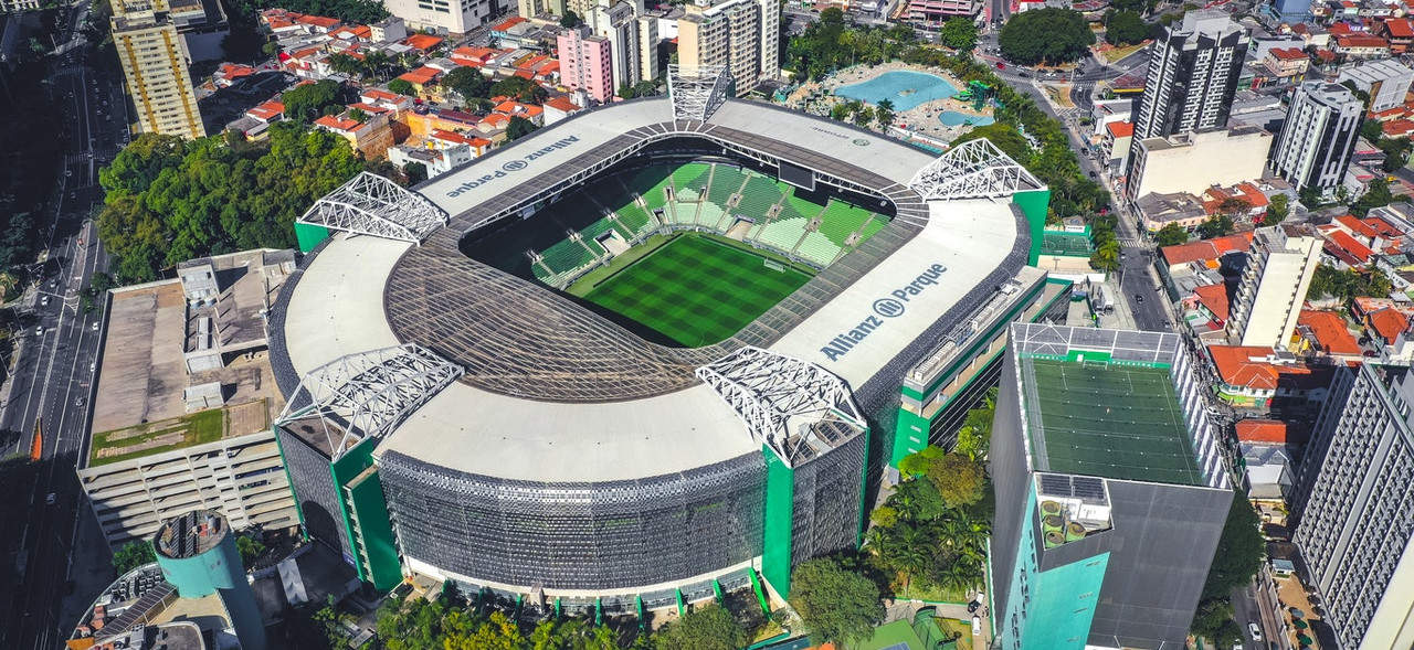
Aerial Mapping & Aerial Photography Survey
Feugiat convallis purus nulla velit. Risus dictum ut consectetur
cursus dignissim vel magnis iaculis sit.
About us
The rapid development of information technology demands of data – data that fast, and full details of the various purposes one of which is the spatial data
UAV LIDAR INDONESIA (survey division of Handal Selaras group) focus and experience in aerial mapping, aerial photography survey since 90th, we modified from conventional system to state of the art unmanned aerial vehicle, we successfully developed with practical, economical, autosystem, safe and accurate, small format called Aerial Mapping System or Aerial mapping system small format (Photo & Lidar), which is a technique taking pictures, photos & point (LIDAR) using autopilot system UAV (Unmanned Aerial Vehicle).
UAV LIDAR MAPPING APPLICATION

UAV SYSTEM ADVANTAGES
- Tough Airplane UAV
- Wide range control & monitor
- High Performance controller
- Easy to create mission & control
- Auto level system
- Fail safe system (back to home)
- Long time flight max 30 min (25km)
- Hundred meter elevation UAV
- Easy to setup & calibration UAV
- Autopilot system
Client testimonials
